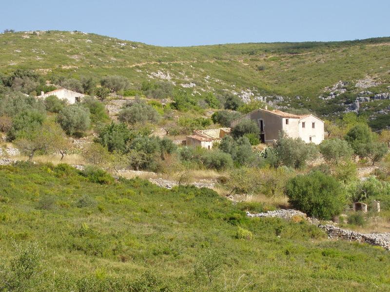
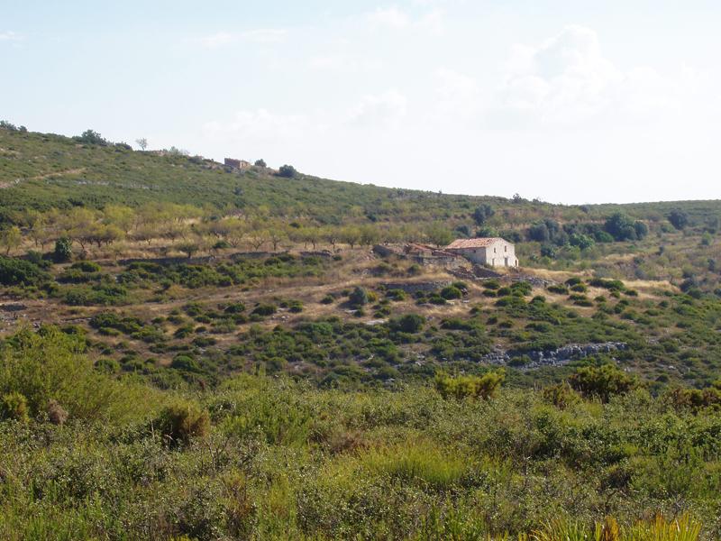
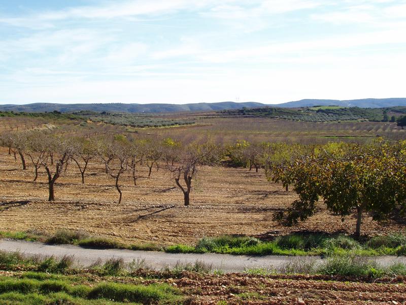
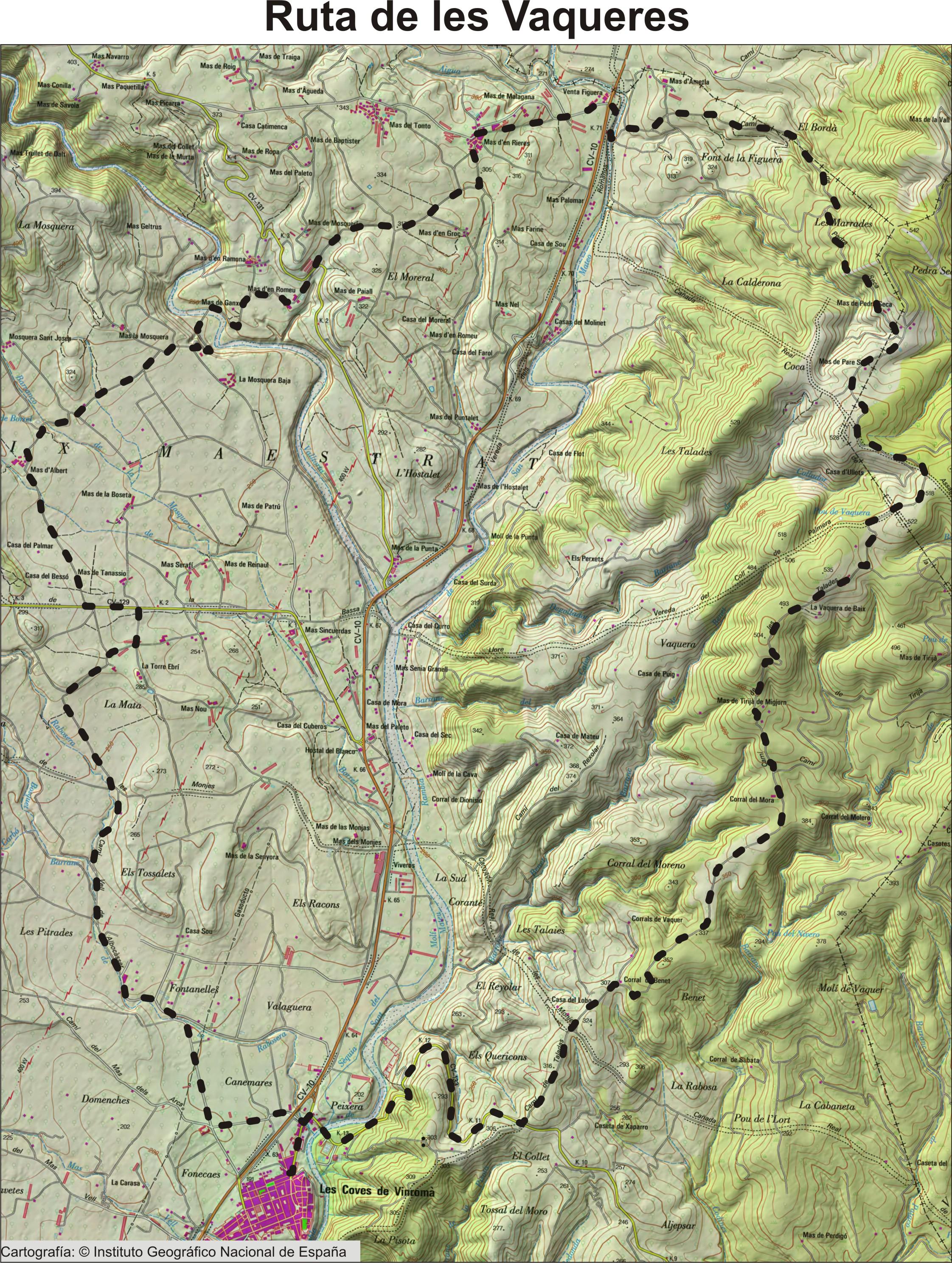
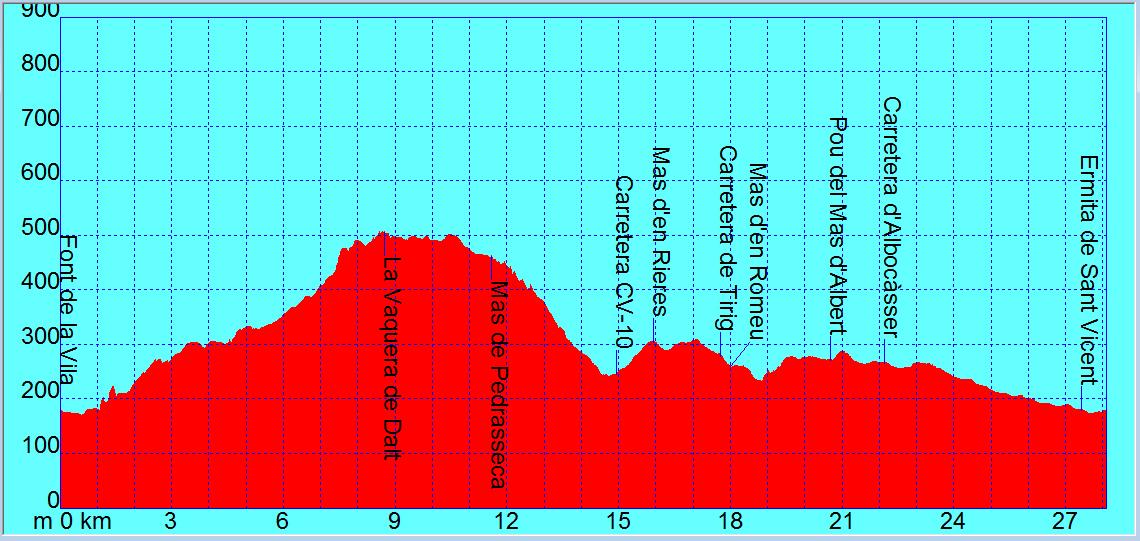
This route is primarily intended for mountain biking although, like the Carob Groves Route it can also be enjoyed on foot. There are two different starting points. The first is through the area of Les Vaquerres, a dry and mountainous area with steep inclines and declines. The second part, on the way back, coincides with part of the Almond Trees Route, with a landscape of busy fields and masías that are still lived in today.
In the attached images you can see the map, the altitude profiles and distances and some photos.
We recommend you print the map as the route is not signposted.
The route is also available in “gpx” format for GPS tracking. You can find it at the Wikiloc link below.
https://es.wikiloc.com/rutas-mountain-bike/ruta-de-les-vaqueres-4503035
